
Challenge
Management-information systems across government departments used different technologies, data structures, locations, and administrative practices. Some systems did not provide APIs, while decision-makers still needed one way to review geographic and operational information.
Approach
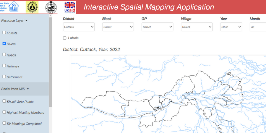
Batoi Build was used with open-source visualization tools to deliver GIS-based dashboards aligned with today’s Batoi Platform. Government-provided maps were converted into web-ready spatial formats, and agreed information from the source systems was prepared for shared analysis.
The source code and dependencies were reviewed before the solution was handed over for installation within the customer’s environment.
Outcome
- Teams no longer needed to prepare hundreds of custom presentation slides for recurring reviews.
- Users could generate data views and insights through filters on demand.
- The documented implementation saved about 40% of development effort compared with the customer’s expected approach.